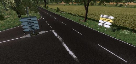
Erlengrat alpine map in FS22 (screenshots)
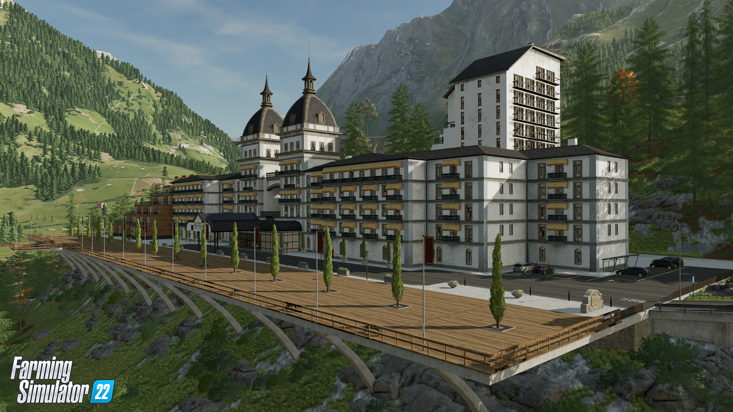
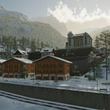
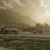
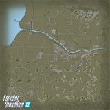
Erlengrat alpine map in FS22 (screenshots)
Vast mountainous grasslands, curvy roads, moving passenger trains and cable cars at the horizon: Erlengrat represents the European alpine regions and invites you to an idyllic landscape, perfectly designed for grassland care and animal husbandry. Watch the brand-new trailer below!
Welcome to Erlengrat map
Check out the map highlights, below. We already introduced Haut-Beyleron and Elmcreek to you, and with Erlengrat, our tour of guiding you through the maps of Farming Simulator 22 is now over. In just a few days, it’s time to choose your destination and start farming.
- representative of a tourist destination in the German-speaking Alps
- overall altitude difference of 260 meters between highest and lowest point
- multiple vantage points to overlook Erlengrat and its surroundings
- a lot of sightseeing locations, including a shopping mile
- looks especially beautiful during winter
Here are some images below


